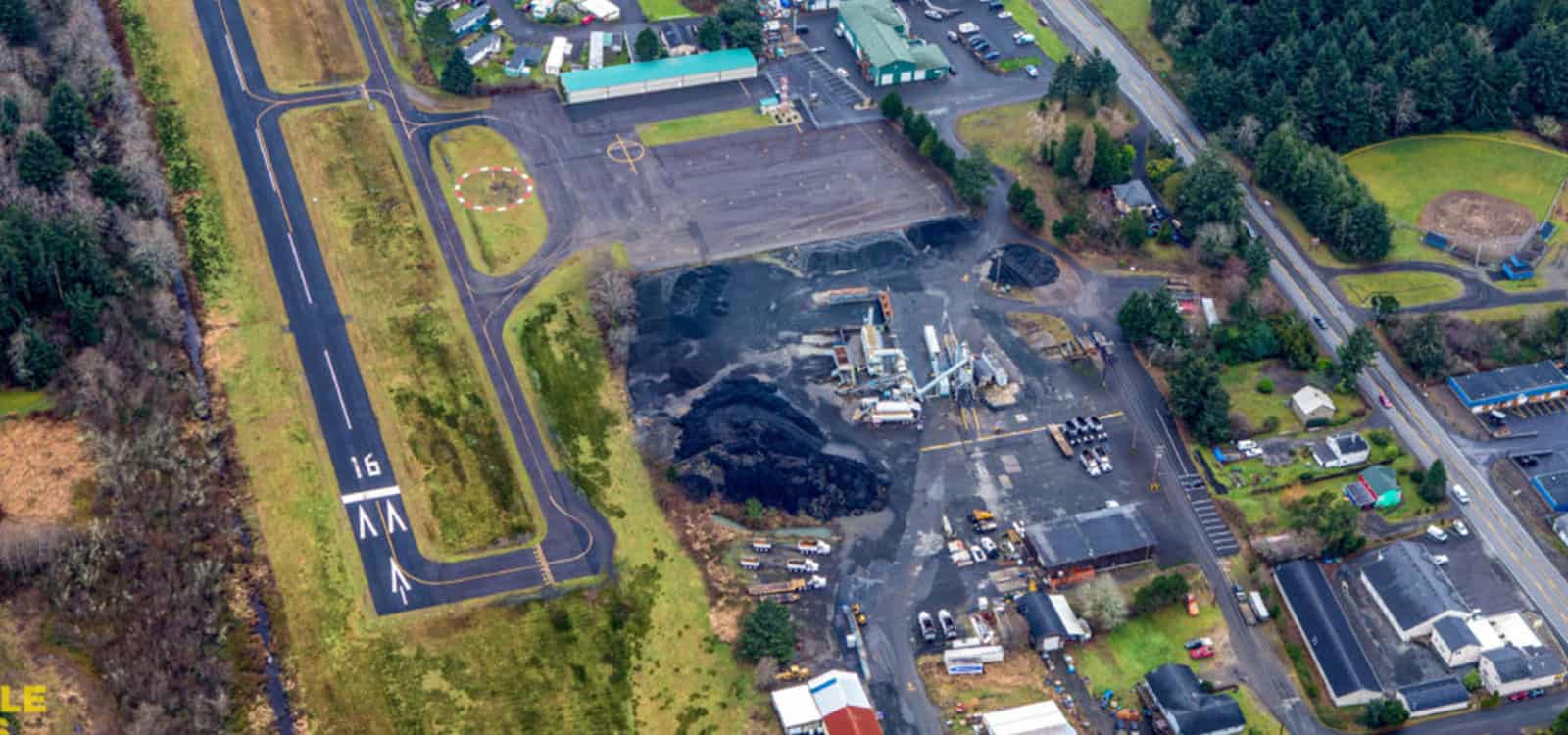
At Stockpile Reports, we believe measuring inventory should be easy for any organization, big or small.
A challenge for many of our clients who fly their own drones is navigating the FAA’s airspace regulations. In this article, we guide you through the process of determining if you are in controlled airspace, break down your options for measuring stockpiles near an airport, teach you what to do if you need a waiver, and guide you through DJI’s newest Fly Safe update, GEO System 2.0.
Recommendation
Navigating controlled airspace is time-consuming. With a Stockpile Reports subscription, you can have our licensed drone pilots fly for you, saving you the time and cost of getting your own drone equipment, getting licensed, maintaining the equipment and software, and making the work of getting inventory done much easier.
Determining Your Airspace
The navigable airspace above your site falls into one of two major categories: controlled or uncontrolled. Fortunately, a majority of airspace near the ground in the United States is uncontrolled. Before flying a drone at a new location, it is always good practice to determine if the airspace is controlled by a local airport or military base. This process is easy because there are several app for that!
One of our favorite apps for determining your airspace is AirMap. This app clearly displays all of the relevant airspace information at your current location. In the example below, the red triangle means you are located in a controlled airspace.


